Posts

Showing posts with the label West Virginia

Exploring the Rock Pinnacle at Meadow River

Image
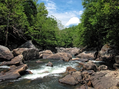
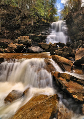
Towering sandstone cliffs, a boulder-lined riverbed, and rolling whitewater rapids�sounds like the New River. But it isn�t. And there�s more. A rock walled grotto, a 30-foot sandstone pinnacle, a little stone chapel, and a couple of waterfalls. Where is this place? I�m referring to the Lower Meadow River. In some respects, it�s like the New River and then some. Indeed, if I had only one day to hike in Southern West Virginia, I�d head for the Meadow River. It offers so much and is so accessible. In my new book �Exploring the Wilds of West Virginia,� I point out a couple of hikes and points of interest along the Meadow River. Let me mention one of those in this blog�the sandstone pinnacle.  Meadow River How Do You Get There? So how do you get to this wild river? It�s surprisingly easy. The best access is at the Kevin Ritchie Memorial Bridge, which crosses the Meadow River on U.S. Highway 19. While driving U.S. 19, I noticed from time to time a few cars parked off the berm just north ...

Why I Don�t Worry About Goldenrod Allergies

Image
Last Wednesday (Sept. 7, 2016) in Canaan Valley, Phyllis and I were awed by acres of Goldenrod gracing the slopes of the South Glade Run Crossing trail. We ambled through waist-high fields that glowed in both sun and shadow. And you know what? We didn�t sneeze, sniffle, or scratch our itchy eyes�not one time. We reveled in fields of gold without a hitch. That�s because Goldenrod is not to blame for allergy flare-ups. Ragweed is the real culprit. It�s estimated that 90% of pollen-induced allergies is due to ragweed.  South Glade Run Crossing Trail So why does Goldenrod get the blame? Probably because Ragweed and Goldenrod bloom at the same time of year�late summer and early fall. Since Goldenrod is by far the showier of the two plants, people notice Goldenrod and fault it for the allergies. Ragweed, on the other hand, is a small plant with a short stem of green or white blossoms. It�s not nearly as conspicuous. People see the bushy stems of Goldenrod covered with flowers and think p...

Pipestem Falls: Making a Come-Back

Image
For 20 years, I drove within yards of beautiful Pipestem Falls, yet knew nothing of them. The falls weren�t on road maps or in tourist guides. The Internet provided scant information and very few photos. To add to the mystery, it was obvious that at one time these falls were a roadside attraction. A broad, grassed-over parking area, a weather-beaten picnic table, an overgrown trail, and a worn trailside fence mutely testified that Pipestem Falls was once a popular destination. Lower Pipestem Falls But that�s all changed now. The roadside parking has been improved; a road sign marks the falls, and brush obscuring the view of the main falls has been cleared. Pipestem Falls has made a come-back.  Lower Pipestem Falls To find Pipestem Falls (GPS: Lat. 37.5478, Long. -80.9596) drive 2.7 miles south of the Pipestem State Park entrance road on State Route 20. Look on the right for a broad, grassy area on the inside portion of a long curve. Parking is easiest at a wide, graveled patch at t...